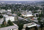
Fear, Jon, Waterloo Region Record, 7 Mar 2009, D7 Photo of building at 9 Princess St. E.9 Princess St. E.This is an index record. To read the full article, please visit the Ellis Little Local History Room.
Fear, Jon, Waterloo Region Record, 7 Mar 2009, D7 Photo of building at 9 Princess St. E.9 Princess St. E.This is …
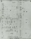
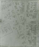
1908 map updated to 1913. Cedar Street later became Bridgeport Road and was also called Laurel Street east of Peppler. See Detail images for closer view of map.
1908 map updated to 1913. Cedar Street later became Bridgeport Road and …
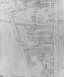
1908 map updated to 1913. Water Street later became Dorset Street. Cedar Street later became Bridgeport Road. See Detail images for closer view of map.
1908 map updated to 1913. Water Street later became Dorset Street. Cedar …
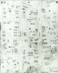
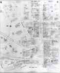
Fire Insurance map of southwest business district of Waterloo, Young Street to the north, Duke (later Dupont) Street to the south, Albert Street to the west and King Street to the east. Town Hall, Li
Fire Insurance map of southwest business district of Waterloo, Young Street to …
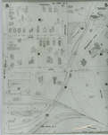
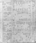
1942 Map. Duke Street became Dupont Street. Queen Street became Regina Street. Cedar Street became Bridgeport Road and was also called Laurel Street east of Peppler Street.
1942 Map. Duke Street became Dupont Street. Queen Street became Regina Street. …
1942 Map. Duke Street became Dupont Street. Queen Street became Regina Street. Cedar Street became Bridgeport Road and was also called Laurel Street east of Peppler Street.
1942 Map. Duke Street became Dupont Street. Queen Street became Regina Street. …
Waterloo Public Library is very grateful to the Good Foundation Inc. and the Waterloo Regional Heritage Foundation for their generous funding of the Waterloo Chronicle digitization project.
Thanks to the Archives of Ontario for supporting this project.