Waterloo Public Library Digital Collections

Results

We found
11
matching items
  • Remove search term Subject: Bricker, Samuel
List Thumb list Columns Gallery
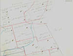
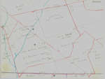
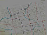
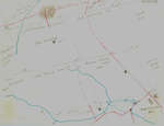
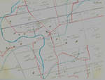
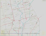
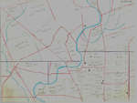
  • Waterloo Township map with names of early property owners
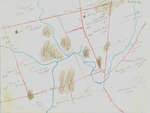
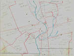
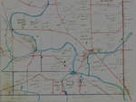
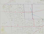
        These maps are hand drawn by Ellis Little and outline over 90000 acres of land granted (Block 2, Waterloo Township) to the Six Nations Indians by the British Crown in 1784 and sold in 1798 to Richard
      These maps are hand drawn by Ellis Little and outline over 90000 …
Powered by / Alimenté par VITA Toolkit
Privacy Policy