Results
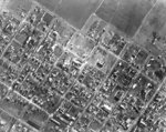
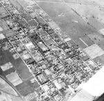
- Black and white negative of a photograph of an aerial postcard of downtown Whitby. View looking south-east.Black and white negative of a photograph of an aerial postcard of …
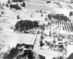
- Black and white negative of a photograph of an aerial postcard showing Whitby. View looking north from Trent Street. The wing of the airplane is visible at left.Black and white negative of a photograph of an aerial postcard showing …
- Black and white negative of a photograph showing Whitby looking east from the intersection of Brock and Dundas Streets. The Ontario Ladies' College is marked in the background.Black and white negative of a photograph showing Whitby looking east from …
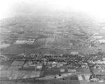
- Black and white negative of a photograph showing an image of Whitby looking north from Base Line near Corbett's Point.Black and white negative of a photograph showing an image of Whitby …
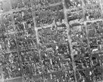
- Black and white negative of an aerial photograph of the south-west portion of Whitby. The street at the bottom left corner is Henry street and at the top right corner is Green Street and the Joseph KBlack and white negative of an aerial photograph of the south-west portion …
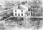
- Inverlynn house was built at the intersection of Raglan and Giffard Street in 1860 for William Laing (1818-1891). In 1870, the house was purchased by George McGillivray (1813-1894).Inverlynn house was built at the intersection of Raglan and Giffard Street …
- Black and white negative of a an aerial photograph of the downtown/central business district of Whitby. The intersection of John and Perry Streets is visible in the upper left corner. At the upper riBlack and white negative of a an aerial photograph of the downtown/central …
- This photograph was taken to show the proposed route of Highway 401 which would follow the railway line.This photograph was taken to show the proposed route of Highway 401 …
- This photograph was taken to show the proposed route of Highway 401 which would follow the railway line.This photograph was taken to show the proposed route of Highway 401 …
- Black and white negative of a photograph of a postcard of an aerial view of Whitby taken from the water tower on Euclid Street. View looking south-east shows All Saints' Anglican Church (left) and thBlack and white negative of a photograph of a postcard of an …
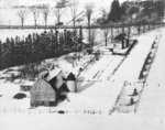
- Black and white negative of an aerial photograph of the Coldstream and Jeffery Farms located on lot 30 of Concession 1. View looking north toward Highway 2, east of Lynde Creek. The Albert A. WalkerBlack and white negative of an aerial photograph of the Coldstream and …
- St. John's Roman Catholic Church was built in 1902. The Ontario County House of Refuge was built between 1901-1903.St. John's Roman Catholic Church was built in 1902. The Ontario County …
- See also record #22-000-023. Ontario Ladies' College is now known as Trafalgar Castle School, and is located at 401 Reynolds Street.See also record #22-000-023. Ontario Ladies' College is now known as Trafalgar …
- Black and white negative of a photograph of a stereograph showing a view of Whitby looking south taken from the Ontario County Courthouse. The intersection of Ontario and Centre Streets is at the botBlack and white negative of a photograph of a stereograph showing a …
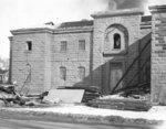
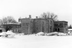
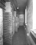
- he Ontario County Jail was built in 1853 at the south-east corner of King and Gilbert Streets and demolished in February 1960. It was replaced by the new jail on Victoria Street in 1958.he Ontario County Jail was built in 1853 at the south-east corner …
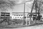
- The Whitby Jail was built between 1957-1958 to replace the Ontario County Jail which was demolished in 1960. The new jail was built at the south-west corner of Victoria and Byron Streets. It opened oThe Whitby Jail was built between 1957-1958 to replace the Ontario County …
- The Whitby Jail was built between 1957-1958 to replace the Ontario County Jail which was demolished in 1960. The new jail was built at the south-west corner of Victoria and Byron Streets. It opened oThe Whitby Jail was built between 1957-1958 to replace the Ontario County …
- The Ontario County Jail was built in 1853 at the south-east corner of King and Gilbert Streets and demolished in February 1960. It was replaced by the new jail on Victoria Street in 1958.The Ontario County Jail was built in 1853 at the south-east corner …
- The Ontario County Jail was built in 1853 at the south-east corner of King and Gilbert Streets and demolished in February 1960. It was replaced by the new jail on Victoria Street in 1958.The Ontario County Jail was built in 1853 at the south-east corner …


