Maps
Records
Results


Page 3 of 4
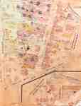
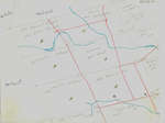
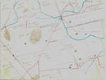
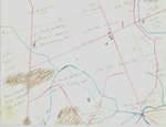
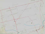
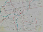
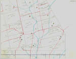
- 1920 map updated in 1929. Queen Street later became Regina Street. Weaver Street was a small lane approximately where Willis Way is today. On the east side of King Street and south it continued as We1920 map updated in 1929. Queen Street later became Regina Street. Weaver …
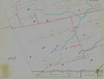
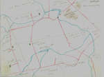
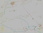
- See detail photographs for enhanced view of the map.See detail photographs for enhanced view of the map.
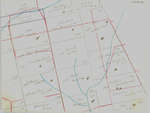
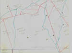
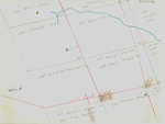
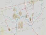
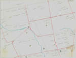
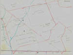
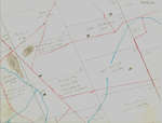
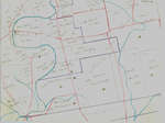
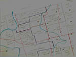
- These maps are hand drawn by Ellis Little and outline over 90000 acres of land granted (Block 2, Waterloo Township) to the Six Nations Indians by the British Crown in 1784 and sold in 1798 to RichardThese maps are hand drawn by Ellis Little and outline over 90000 …
- These maps are hand drawn by Ellis Little and outline over 90000 acres of land granted (Block 2, Waterloo Township) to the Six Nations Indians by the British Crown in 1784 and sold in 1798 to RichardThese maps are hand drawn by Ellis Little and outline over 90000 …
- These maps are hand drawn by Ellis Little and outline over 90000 acres of land granted (Block 2, Waterloo Township) to the Six Nations Indians by the British Crown in 1784 and sold in 1798 to RichardThese maps are hand drawn by Ellis Little and outline over 90000 …
- These maps are hand drawn by Ellis Little and outline over 90000 acres of land granted (Block 2, Waterloo Township) to the Six Nations Indians by the British Crown in 1784 and sold in 1798 to RichardThese maps are hand drawn by Ellis Little and outline over 90000 …
- These maps are hand drawn by Ellis Little and outline over 90000 acres of land granted (Block 2, Waterloo Township) to the Six Nations Indians by the British Crown in 1784 and sold in 1798 to RichardThese maps are hand drawn by Ellis Little and outline over 90000 …
- These maps are hand drawn by Ellis Little and outline over 90000 acres of land granted (Block 2, Waterloo Township) to the Six Nations Indians by the British Crown in 1784 and sold in 1798 to RichardThese maps are hand drawn by Ellis Little and outline over 90000 …
- These maps are hand drawn by Ellis Little and outline over 90000 acres of land granted (Block 2, Waterloo Township) to the Six Nations Indians by the British Crown in 1784 and sold in 1798 to RichardThese maps are hand drawn by Ellis Little and outline over 90000 …
- These maps are hand drawn by Ellis Little and outline over 90000 acres of land granted (Block 2, Waterloo Township) to the Six Nations Indians by the British Crown in 1784 and sold in 1798 to RichardThese maps are hand drawn by Ellis Little and outline over 90000 …
- These maps are hand drawn by Ellis Little and outline over 90000 acres of land granted (Block 2, Waterloo Township) to the Six Nations Indians by the British Crown in 1784 and sold in 1798 to RichardThese maps are hand drawn by Ellis Little and outline over 90000 …
- These maps are hand drawn by Ellis Little and outline over 90000 acres of land granted (Block 2, Waterloo Township) to the Six Nations Indians by the British Crown in 1784 and sold in 1798 to RichardThese maps are hand drawn by Ellis Little and outline over 90000 …
- These maps are hand drawn by Ellis Little and outline over 90000 acres of land granted (Block 2, Waterloo Township) to the Six Nations Indians by the British Crown in 1784 and sold in 1798 to RichardThese maps are hand drawn by Ellis Little and outline over 90000 …
- These maps are hand drawn by Ellis Little and outline over 90000 acres of land granted (Block 2, Waterloo Township) to the Six Nations Indians by the British Crown in 1784 and sold in 1798 to RichardThese maps are hand drawn by Ellis Little and outline over 90000 …
- These maps are hand drawn by Ellis Little and outline over 90000 acres of land granted (Block 2, Waterloo Township) to the Six Nations Indians by the British Crown in 1784 and sold in 1798 to RichardThese maps are hand drawn by Ellis Little and outline over 90000 …
- These maps are hand drawn by Ellis Little and outline over 90000 acres of land granted (Block 2, Waterloo Township) to the Six Nations Indians by the British Crown in 1784 and sold in 1798 to RichardThese maps are hand drawn by Ellis Little and outline over 90000 …
- These maps are hand drawn by Ellis Little and outline over 90000 acres of land granted (Block 2, Waterloo Township) to the Six Nations Indians by the British Crown in 1784 and sold in 1798 to RichardThese maps are hand drawn by Ellis Little and outline over 90000 …
- These maps are hand drawn by Ellis Little and outline over 90000 acres of land granted (Block 2, Waterloo Township) to the Six Nations Indians by the British Crown in 1784 and sold in 1798 to RichardThese maps are hand drawn by Ellis Little and outline over 90000 …
- These maps are hand drawn by Ellis Little and outline over 90000 acres of land granted (Block 2, Waterloo Township) to the Six Nations Indians by the British Crown in 1784 and sold in 1798 to RichardThese maps are hand drawn by Ellis Little and outline over 90000 …
- These maps are hand drawn by Ellis Little and outline over 90000 acres of land granted (Block 2, Waterloo Township) to the Six Nations Indians by the British Crown in 1784 and sold in 1798 to RichardThese maps are hand drawn by Ellis Little and outline over 90000 …
Page 3 of 4
Meet Your Waterloo is created and maintained by the Waterloo Public Library.
Waterloo Public Library is very grateful to the Good Foundation Inc. and the Waterloo Regional Heritage Foundation for their generous funding of the Waterloo Chronicle digitization project.

Thanks to the Archives of Ontario for supporting this project.

Waterloo Public Library is very grateful to the Good Foundation Inc. and the Waterloo Regional Heritage Foundation for their generous funding of the Waterloo Chronicle digitization project.
Thanks to the Archives of Ontario for supporting this project.


