Results


Page 1 of 1
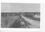
- Looking north along Victoria Ave. from partway up the escarpment. A white house is on the right and mounds of hay? are seen in the field on the left.Looking north along Victoria Ave. from partway up the escarpment. A white …
- Victoria Ave (Reg. Rd 24) is at the bottom of the image. Reg. Rd 81 runs across the image. The Imperial Bank of Canada was built on this corner lot in 1910.Victoria Ave (Reg. Rd 24) is at the bottom of the image. …
- Victoria Ave. (Reg. Rd. 24) goes off into the distance. On the right, at the bottom, is the corner of Tallman Dr. Moses F. Rittenhouse paid for the installation of sidewalks from Highway 8 (Reg. Rd.Victoria Ave. (Reg. Rd. 24) goes off into the distance. On the …
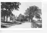
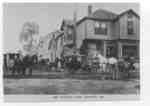
- The inscription on the picture identifies this as "Main St.". The original Main St. in Jordan Station is now called Bridgeport Dr. However, this does not look like it is actually "Main St.", it is moThe inscription on the picture identifies this as "Main St.". The original …
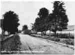
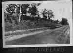
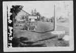
- Looking north on Victoria Ave. (Reg. Rd 24). Trees line both sides of the road.Looking north on Victoria Ave. (Reg. Rd 24). Trees line both sides …
- Guard rails appear to be in place along the road.Guard rails appear to be in place along the road.
- Several people, including a small child, stand on the road beneath a large tree.Several people, including a small child, stand on the road beneath a …
- Looking south on Victoria Ave. (Reg. Rd. 24). Rittenhouse School is behind some trees in the middle of the photoLooking south on Victoria Ave. (Reg. Rd. 24). Rittenhouse School is behind …
- Note rail lines on right of picture. Probably for Hamilton Electric railway.Note rail lines on right of picture. Probably for Hamilton Electric railway.
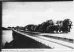
- The Q.E.W. looking west. It is a 4-lane divided highway with trees lining the north side of the road. Jordan Harbour is on the left.The Q.E.W. looking west. It is a 4-lane divided highway with trees …
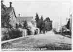
- Looking east down a street in early Jordan Station.Looking east down a street in early Jordan Station.
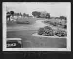
- Probably looking southwest on Highway 8 (Reg. Rd. 81), across from the main entrance to the Vineland Cemetery.Probably looking southwest on Highway 8 (Reg. Rd. 81), across from the …
- A winding road through a cemetery. A number of grave markers can be seen. There are several flower gardens in the picture.A winding road through a cemetery. A number of grave markers can …
- Kenneth Moyer took several pictures from the roof the the administrative building on the Experimental station.Kenneth Moyer took several pictures from the roof the the administrative building …
- This is the South-west corner of Victoria Ave (Reg. Rd. 24) and Highway 8 (Reg. Rd 81). On a different copy of this postcard is the date "November 18, 1912".This is the South-west corner of Victoria Ave (Reg. Rd. 24) and …
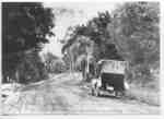
- The camp was run by Elmon Moyer and taken over by his son, Kenneth, in the 1930s. It was located on the north side of Highway 8 (Reg. Rd. 81) just east of Rittenhouse Rd. The automobiles are travelinThe camp was run by Elmon Moyer and taken over by his …
- The survey is dated Dec. 31, 1932, and the map is dated Feb. 20, 1934. Drawing No. P-1935The survey is dated Dec. 31, 1932, and the map is dated …
Page 1 of 1


