Results
- Inscription reads 'First Gold Brick - Bankfield Consolidated Mine June 12, 1937'. The first brick weighed in at 601.19 ounces. The Bankfield Mine was one of the most modern mills in the gold mining iInscription reads 'First Gold Brick - Bankfield Consolidated Mine June 12, 1937'. …
- View looking west at Tombill mine. Note the water line to a short water tower in the foreground of the photo. Tombill Gold Mines was incorporated in 1935 and shaft-sinking began the following year. BView looking west at Tombill mine. Note the water line to a …
- Aerial view looking northwest. Inscription reads 'MacLeod Cockshutt Gold Mine showing Hard Rock Gold mine in the foreground, December, 1937.' Upper portion shows the hills on which MacLeod Townsite iAerial view looking northwest. Inscription reads 'MacLeod Cockshutt Gold Mine showing Hard …
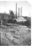
- A view of Gold Rock Mine headframe in rear of building.A view of Gold Rock Mine headframe in rear of building.
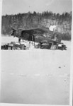
- Supply planes were used to transport supplies to barren wilderness mine sites during the 1920's and 1930's. This black and white photo was dated February 18, 1937.Supply planes were used to transport supplies to barren wilderness mine sites …
- mines, mining, gold, gold mines, Gold Rock Mine, Ontariomines, mining, gold, gold mines, Gold Rock Mine, Ontario
- Black and white photo showing railway ramp up to the top of the mine tower.Black and white photo showing railway ramp up to the top of …
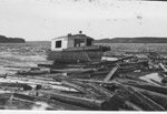
- Photo of a boat used to tow a log boom on Nipigon Bay to the Lake Sulphite Pulp and Paper Co.Photo of a boat used to tow a log boom on Nipigon …
- A photograph of a dredging operation by the New Welland Co. of Ottawa. The area dredged was at the end of the Lake Sulphite Pulp and Paper Co. wharf in Nipigon Bay.A photograph of a dredging operation by the New Welland Co. of …
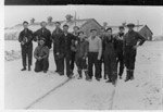
- In the background is the first office building of the Lake Sulphite Pulp and Paper Co. Supplies were transported to the site by rail. The workers are unidentified.In the background is the first office building of the Lake Sulphite …
- These bunkhouses were built by the Lake Sulphite Pulp and Paper Co. as residences for their workers. The men in the photograph are unidentified.These bunkhouses were built by the Lake Sulphite Pulp and Paper Co. …
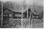
- Log building constructed by Lake Sulphite Pulp and Paper Co., as a lodge for visiting company executives from the Montreal Head Office.Log building constructed by Lake Sulphite Pulp and Paper Co., as a …
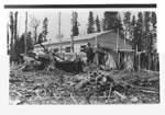
- A view of the first office building at the Lake Sulphite Pulp and Paper Co., taken on May 7, 1937. The two men in the photo are unidentified.A view of the first office building at the Lake Sulphite Pulp …
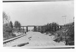
- A view of the CPR overhead bridge from the spur line to the Lake Sulphite Pulp and Paper Co.A view of the CPR overhead bridge from the spur line to …
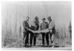
- A photograph of four CNR officials planning for the spur line to Lake Sulphite Pulp and Paper Co. Second from the right is J.O. Johnson, CNR Superintendent.A photograph of four CNR officials planning for the spur line to …
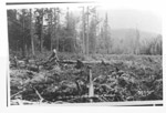
- A view of the future town site of Red Rock.A view of the future town site of Red Rock.
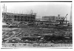
- Construction of buildings at Lake Sulphite Pulp and Paper Co., Red Rock.Construction of buildings at Lake Sulphite Pulp and Paper Co., Red Rock.
- A photograph of CNR executives standing in front of the original train station in Red Rock. Note the system used for transporting vehicles by rail between Nipigon and Red Rock.A photograph of CNR executives standing in front of the original train …
- A photograph showing the construction of the bridge crossing Trout Creek. The CNR depot rail car is in the background.A photograph showing the construction of the bridge crossing Trout Creek. The …


