Results


Page 1 of 1
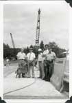
- This is the longest load ever to leave the Dominion Bridge Company plant in Sault Ste. Marie. Each beam was 100 feet long and the load measured 133 feet in overall length and required an additional mThis is the longest load ever to leave the Dominion Bridge Company …
- The bridge cost $225,000.00 and opened August 7, 1979. Present at the opening were the municipal supervisor from the Ministry of Transportation and Communications Gerald Herden, representatives fromThe bridge cost $225,000.00 and opened August 7, 1979. Present at the …
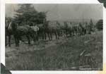
- Notes under the picture read, " Road - Grading with horses 1925. lead team - John Hopper, Pole team - James Owens.Notes under the picture read, " Road - Grading with horses 1925. …
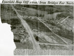
- This partial newspaper article, circa 1948 included an aerial photo of the Town of Iron Bridge and discussed the traffic patterns of travelers passing through to varied destinations.This partial newspaper article, circa 1948 included an aerial photo of the …
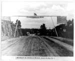
- This is a black and white photo showing Highway 17B coming into Thessalon. There are steep rock walls on either side and the road appears to be dirt. A wooden sign hangs over the roadway announcing tThis is a black and white photo showing Highway 17B coming into …
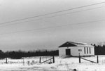
- This winter photo taken in 1977 is of the Seventh Day Adventist Church along Highway 17 east in Iron Bridge. It is a small one story white building set out in a field. A ramp leads up to the front doThis winter photo taken in 1977 is of the Seventh Day Adventist …
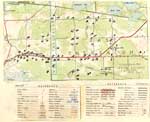
- The map does not include a scale. This map and legend can be found in the Tweedsmuir History created by the Princess Elizabeth Women's Institute.The map does not include a scale. This map and legend can …
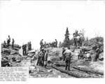
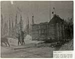
- The typewritten notes read, "Rock Camp by the Thessalon Beach. Work done during the Depression "Dirty Thirties". The men were paid .69 a day. Some of the men who worked on this project are: Bob TurneThe typewritten notes read, "Rock Camp by the Thessalon Beach. Work done …
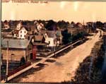
- This is a colourized photo showing a dirt surfaced Huron Street. The street is lined with mostly two-story homes on the left side of the photo and trees on the right side of the road. The sign for aThis is a colourized photo showing a dirt surfaced Huron Street. The …
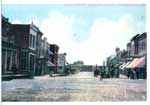
- This is a colourized photo that appears to have been taken from a postcard. It shows part of the Main Street, Thessalon. Easily seen are signs for Bridge Brothers, and McCarty`s Drug store. There areThis is a colourized photo that appears to have been taken from …
- Water was put into the container pictured and used to ice roads in the bush, so that horses could pull logs in the winter.Water was put into the container pictured and used to ice roads …
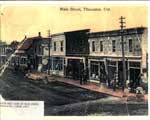
- This is a partially colourized photo of the southwest side of the Main Street in Thessalon taken in 1905. A series of nine buildings stretch across the photo. A horse and buggy can be seen on the sidThis is a partially colourized photo of the southwest side of the …
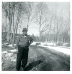
- This is a black and white photo of Sam Bobiwash standing outside on the bare side of a dirt road. Mr. Bobiwash wears a hat, long-sleeved shirt and pants. There is some snow on the ground and the treeThis is a black and white photo of Sam Bobiwash standing outside …
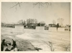
- Notes on the back of the photo read: Present bridge in Iron Bridge under construction.Notes on the back of the photo read: Present bridge in Iron …
Page 1 of 1

