Results


Page 3 of 3
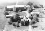
- This farm was owned by the O'Connor family from 1882-1991. The farmhouse built about 1895 at the south-east corner of Taunton Road and Garden Street for William O'Connor (1863-1933). In 1991, the farThis farm was owned by the O'Connor family from 1882-1991. The farmhouse …
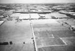
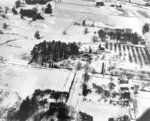
- Black and white negative showing an aerial view of the Dryden farmland. View looking north along Thickson Road. Columbus Road runs left to right at centre.Black and white negative showing an aerial view of the Dryden farmland. …
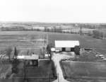
- The farmhouse was built by the Campbell family in the early 1850s.The farmhouse was built by the Campbell family in the early 1850s.
- This is the first of a three-part panoramic photograph of Whitby.This is the first of a three-part panoramic photograph of Whitby.
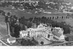
- Black and white negative of a photograph of a postcard showing an aerial view of Ontario Ladies' College. View looking north-west.Black and white negative of a photograph of a postcard showing an …
- Inverlynn house was built at the intersection of Raglan and Giffard Street in 1860 for William Laing (1818-1891). In 1870, the house was purchased by George McGillivray (1813-1894).Inverlynn house was built at the intersection of Raglan and Giffard Street …
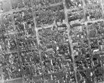
- Black and white negative of a an aerial photograph of the downtown/central business district of Whitby. The intersection of John and Perry Streets is visible in the upper left corner. At the upper riBlack and white negative of a an aerial photograph of the downtown/central …
- Black and white negative of a photograph of a postcard of an aerial view of Whitby taken from the water tower on Euclid Street. View looking south-east shows All Saints' Anglican Church (left) and thBlack and white negative of a photograph of a postcard of an …
- See also record #22-000-023. Ontario Ladies' College is now known as Trafalgar Castle School, and is located at 401 Reynolds Street.See also record #22-000-023. Ontario Ladies' College is now known as Trafalgar …
- Black and white negative of a photograph of a postcard showing Whitby from the top of the water tower on Euclid Street. View looking south-east shows All Saints' Anglican Church at left and the MethoBlack and white negative of a photograph of a postcard showing Whitby …
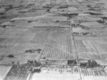
- Black and white negative of a photograph of Red Wing Orchards. View looking north from Highway 2 shows the intersection of the highway and the Whitby-Pickering town line (Lake Ridge Road). Almonds ScBlack and white negative of a photograph of Red Wing Orchards. View …
- Black and white negative of an aerial photograph showing Doug Thompson's farm near Brooklin.Black and white negative of an aerial photograph showing Doug Thompson's farm …
- This farmhouse was originally constructed in 1872 at 734 Dundas Street West. It was owned by a farmer called William Clendenan (1826-1906). Around 1918, this property was purchased by Mrs. W.H. WeddeThis farmhouse was originally constructed in 1872 at 734 Dundas Street West. …
- Black and white negative of an aerial view of Whitby looking north from Ontario Street. The Whitby Community Arena is visible at centre. This image was used for a postcard.Black and white negative of an aerial view of Whitby looking north …
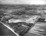
- Black and white negative showing an aerial view of the construction of the Dunlop Tire plant (centre right). View looking north from Lake Ontario, the street running north in foreground is South BlaiBlack and white negative showing an aerial view of the construction of …
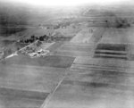
- Black and white negative of a photograph showing an aerial view of the Red Wing Orchards South Farm. View looking east shows the area where the plowing match was held. At center-left is the intersectBlack and white negative of a photograph showing an aerial view of …
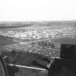
- Black and white negative showing an aerial view of the World Plow Match in 1975. A portion of the plane is visible. The World Plow Match was held in Whitby and Oshawa.Black and white negative showing an aerial view of the World Plow …
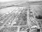
- Black and white negative showing an aerial view of the International Plow Match that took place at Heber Down Farm from October 9-12, 1956.Black and white negative showing an aerial view of the International Plow …
- Black and white negative showing an aerial view of the Whitby Yacht Club. View looking south-west from Whitby Harbour. The Whitby Psychiatric Hospital is visible in the background. This image was useBlack and white negative showing an aerial view of the Whitby Yacht …
Page 3 of 3

