LHM048 1972 Oshawa, Ontario Aerial Maps - 6 maps
Description
- Media Type
- Image
- Item Type
- Maps
- Description
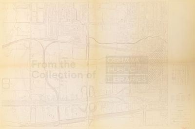
- A series of 1972 aerial planning maps that cover some of Oshawa, they show streets, neighbourhoods and houses, and geographic features.
- Notes
- The aerial photography for these maps was taken in 1972, but in 1973 another firm updated some maps. We do not have a complete set, but when combined with the 1973 update we have most of them. (12 maps total) Scale on map listed as 1" to 200'
- Publisher
- General Photogrammetric Services Ltd.
- Place of Publication
- Ottawa
- Date of Original
- November 1972
- Dimensions
-
Width: 34.2 in
Height: 47.8 in
- Local identifier
- LHM048
- Language of Item
- English
- Copyright Statement
- Copyright status unknown. Responsibility for determining the copyright status and any use rests exclusively with the user.
- Location of Original
- Map Drawer 4
- Terms of Use
- please credit Oshawa Public Libraries, Local History Collection
- Contact
- Oshawa Public LibrariesEmail:nadams@oshawalibrary.on.ca
Website:
Agency street/mail address:
Nicole Adams, Local History and Genealogy Librarian
65 Bagot Street
Oshawa, ON L1H 1N2
905-579-6111 EXT 5253