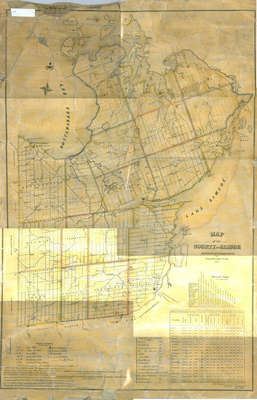
County of Simcoe
Description
- Media Type
- Image
- Item Type
- Maps
- Description
- Map of the County of Simcoe. Contains concession lines and lots. Includes table of populations for towns and cities as well as distances between.
- Notes
- Very fragile condition. Row 1 large map stand
- Date Of Event
- 1850
- Subject(s)
- Local identifier
- OR_468
- Collection
- Orilliana
- Geographic Coverage
-
-
Ontario, Canada
Latitude: 44.60868 Longitude: -79.42068
-
- Copyright Statement
- Copyright status unknown. Responsibility for determining the copyright status and any use rests exclusively with the user.
- Contact
- Orillia Public Library


