London Room Digital Collections

London, Ontario - Streets Card 3

Description
Media Type
Text
Item Type
Indexing
Date of Publication
24 Feb 1990
Local identifier
wtl-20150314142714_001
Language of Item
English
Geographic Coverage
  • Ontario, Canada
    Latitude: 42.98339 Longitude: -81.23304
Copyright Statement
Content not protected by copyright.
Contact
London Public Library
Email:research.request@lpl.ca
Website:
Agency street/mail address:

251 Dundas Street

London, ON N6A 6H9

Full Text

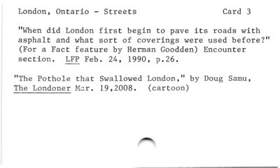
London, Ontario — Streets Card 3

"When did London first begin to pave its roads with

asphalt and what sort of coverings were used before?"

(For a Fact feature by Herman Goodden) Encounter

section. LFP Feb. 24, 1990, p.26.

"The Pothole that Swallowed London," by Doug Samu,

The Londoner Mar. 19,2008. (cartoon)

Powered by / Alimenté par VITA Toolkit
Privacy Policy