Results
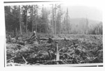
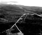
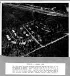
- A view of the future town site of Red Rock.A view of the future town site of Red Rock.
- A photograph of workers cutting brush for the first houses to be built on the present day site of Ranking Street in Red Rock.A photograph of workers cutting brush for the first houses to be …
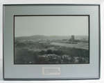
- Framed photograph of the Schreiber C.P.R. yard circa 1900. Text reads: "Schreiber had developed into an important divisional point by the time this photograph was taken in 1900. Besides the extensiveFramed photograph of the Schreiber C.P.R. yard circa 1900. Text reads: "Schreiber …
- Early photograph of Schreiber reinforced on cardboard backing. Photograph has a large vertical crack down the centre, as well as some waterstains on the upper portion.Early photograph of Schreiber reinforced on cardboard backing. Photograph has a large …
- Black and white photograph of Schreiber showing the railroad in the centre of town.Black and white photograph of Schreiber showing the railroad in the centre …
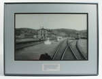
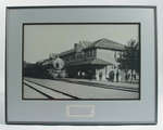
- Framed black and white photograph depicts Schreiber's C.P.R. Station at an unknown date. Text reads: "Schreiber's first station, pictured here, was built in 1885, the same year the "Last Spike" was dFramed black and white photograph depicts Schreiber's C.P.R. Station at an unknown …
- Framed photograph of the Imperial Limited train in front of the Schreiber C.P.R. station. Text reads: "The Imperial Limited", pictured here in front of the CPR's Schreiber station, was one of the comFramed photograph of the Imperial Limited train in front of the Schreiber …
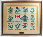
- A needlework art piece commemorating Schreiber's 125th anniversary and the ten provinces of Canada. Plaque reads: "Donated to Schreiber Heritage Museum in memory of John & Helen Bulna and Tom PetkoviA needlework art piece commemorating Schreiber's 125th anniversary and the ten provinces …
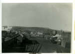
- Black and white photograph of the Schreiber train yard.Black and white photograph of the Schreiber train yard.
- Photo #16 of 16 loose photos, taken by Mr. Everett, not in scrapbooks.Photo #16 of 16 loose photos, taken by Mr. Everett, not in …
- Information compiled by Ray Gionet with information gathered by James E. Isbester. Consists mainly of letters and correspondence about Mr.s Isbester's grandfather who Schreiber was originally named.Information compiled by Ray Gionet with information gathered by James E. Isbester. …
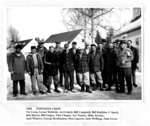
- caption: 1958, TOWNSITE CREW, Vic Costa, Lorne McBride, Art Gobeil, Bill Campbell, Bill Kujibiba, J. Speck, Bob Harris, Bill Geiger, Nick Chopty, Art Tanner, Mike Jaremy, Jack Winters, George Rouhiaicaption: 1958, TOWNSITE CREW, Vic Costa, Lorne McBride, Art Gobeil, Bill Campbell, …
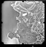
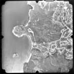
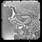
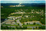
- This photograph shows an aerial view of Terrace Bay, Ontario, Canada. Shown is Lake Superior and part of town.This photograph shows an aerial view of Terrace Bay, Ontario, Canada. Shown …
- This photograph shows an aerial view of Terrace Bay, Ontario, Canada. Shown is Lake Superior, the Pump House Beach, and part of the south-east side of town.This photograph shows an aerial view of Terrace Bay, Ontario, Canada. Shown …
- This photograph shows an aerial view of Terrace Bay, Ontario, Canada. Shown is Lake Superior, the Terrace Bay Beach, and part of the south-west side of town.This photograph shows an aerial view of Terrace Bay, Ontario, Canada. Shown …
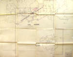
- This very old map (1947-48) from the Bush Fire Brigade shows the Improvement District of Terrace Bay. The Municipality of Schreiber is also on this map, along with the Slate Islands.This very old map (1947-48) from the Bush Fire Brigade shows the …
- This photograph is part of the LSHS Terrace Bay Mill Photographs [Local History] album.This photograph is part of the LSHS Terrace Bay Mill Photographs [Local …
- This photograph is part of the Terrace Bay 1946-67 album.This photograph is part of the Terrace Bay 1946-67 album.
- This photograph is part of the Terrace Bay 1946-67 album.This photograph is part of the Terrace Bay 1946-67 album.


