Results
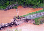
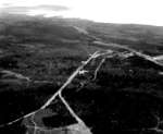
- Aerial shot of flood damage caused near Flanders Station in Ontario.Aerial shot of flood damage caused near Flanders Station in Ontario.
- Aerial view of the washout of the tracks on the Seine River near Flanders Station, Ontario.Aerial view of the washout of the tracks on the Seine River …
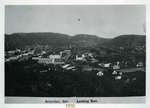
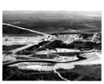
- Black and white photograph of Schreiber, Ontario taken from the west.Black and white photograph of Schreiber, Ontario taken from the west.
- Gold production of Starratt Olsen Mine started in 1948 and ceased in 1956.Gold production of Starratt Olsen Mine started in 1948 and ceased in …
- Mine production started in 1939. The Madsen Mine became the gold mine that made Red Lake, Northwestern Ontario, an important Canadian mining center.Mine production started in 1939. The Madsen Mine became the gold mine …
- Hasaga, another gold producer in Red Lake, Northwestern Ontario, began operations in 1938.Hasaga, another gold producer in Red Lake, Northwestern Ontario, began operations in …
- An aerial view of the damage to the C.N.R. tracks over the Seine River, June 2002. This aerial photo of the Seine River, was taken two miles from Flanders Station.An aerial view of the damage to the C.N.R. tracks over the …
- Aerial view of the damage to C.N.R tracks over the Seine River after a heavy rainfall. Photo was taken on June 11, 2002.Aerial view of the damage to C.N.R tracks over the Seine River …
- Coloured aerial photo of C.N.R. train tracks buried in erosion caused by the heavy rainfalls that occurred in this Northwestern region during the month of June 2002.Coloured aerial photo of C.N.R. train tracks buried in erosion caused by …
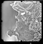
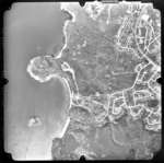
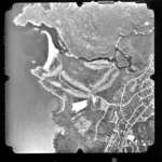
- This photograph shows an aerial view of Terrace Bay, Ontario, Canada. Shown is Lake Superior and part of town.This photograph shows an aerial view of Terrace Bay, Ontario, Canada. Shown …
- This photograph shows an aerial view of Terrace Bay, Ontario, Canada. Shown is Lake Superior, the Pump House Beach, and part of the south-east side of town.This photograph shows an aerial view of Terrace Bay, Ontario, Canada. Shown …
- This photograph shows an aerial view of Terrace Bay, Ontario, Canada. Shown is Lake Superior, the Terrace Bay Beach, and part of the south-west side of town.This photograph shows an aerial view of Terrace Bay, Ontario, Canada. Shown …
- This photograph is part of the Terrace Bay 1946-67 album.This photograph is part of the Terrace Bay 1946-67 album.
- This photograph is part of the Terrace Bay 1946-67 album.This photograph is part of the Terrace Bay 1946-67 album.
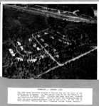
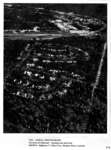
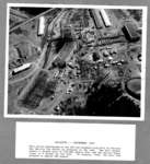
- Caption: 1946: AERIAL PHOTOGRAPH, Townsite & Railroad - running east and west, SHOWS: Highway 17, Pine Cres., Hudson Drive, LaurierCaption: 1946: AERIAL PHOTOGRAPH, Townsite & Railroad - running east and west, …
- This photograph is part of the Terrace Bay 1946-67 album.This photograph is part of the Terrace Bay 1946-67 album.
- This photograph is part of the Terrace Bay 1946-67 album.This photograph is part of the Terrace Bay 1946-67 album.
- This photograph is part of the Terrace Bay 1946-67 album.This photograph is part of the Terrace Bay 1946-67 album.
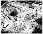
- This photograph shows an aerial view of the pulp mill in Terrace Bay taken in 1948. Shown is Hydro Dam, the Aguasabon River, the jackladder, the mill, and South Camp, where the mill workers lived.This photograph shows an aerial view of the pulp mill in Terrace …


