Results
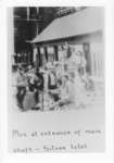
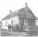
- Group of unknown men gathered in front of a wooden building at the entrance to the main mining shaft at Silver Islet.Group of unknown men gathered in front of a wooden building at …
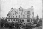
- A photograph of the Kaministiquia Hotel, once at the corner of Dease and Hardisty Streets, in Fort William, Ontario. This unique C.P.R. hotel offered accomodations to railroad officials, business exeA photograph of the Kaministiquia Hotel, once at the corner of Dease …
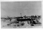
- A drawing attributed to William Armstrong of Fort William in 1873. The drawing shows water traffic of canoes and a ship. The settlement can be seen across from the Fort. Wigwams of the Ojibwa are seeA drawing attributed to William Armstrong of Fort William in 1873. The …
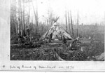
- A photo with the caption 'Site of the Bank of Montreal in 1870', showing a wigwam, in the bush. A group of Indigenous Peoples are in front of the wigwam; a skin is drying on the left.; 4.3'wide x 3.1A photo with the caption 'Site of the Bank of Montreal in …
- Prince Arthur's Landing as seen in 1870 in Port Arthur, Ontario.Prince Arthur's Landing as seen in 1870 in Port Arthur, Ontario.
- A photograph of the Ontario Bank, which opened at Prince Arthur's Landing (later called Port Arthur) in 1875. The bank served a population of 500. One of the bank tellers was Samuel Wellington Ray, wA photograph of the Ontario Bank, which opened at Prince Arthur's Landing …
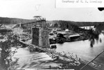
- In choosing to follow the shoreline of Lake Superior, CPR rejected the inland route. Points of access to bring supplies to the men were from the end of the track or along the lake. The CPR was able tIn choosing to follow the shoreline of Lake Superior, CPR rejected the …
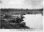
- Remains of the York boats used to transport Colonel Garnet Wolseley and his troops from Prince Arthur's Landing (later called Port Arthur) to the Red River Settlement at Fort Garry. Troops followed aRemains of the York boats used to transport Colonel Garnet Wolseley and …
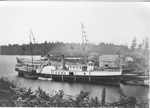
- This sidewheeler was originally called the 'City of Toronto', then the 'Racine' and finally the 'Algoma'. Built in 1839, the ship was to undergo major transformations in it's lifetime. It retained itThis sidewheeler was originally called the 'City of Toronto', then the 'Racine' …
- A rare photograph of Prince Arthur's Landing. In this scene, the Lieutenant-Governor and his party prepare to board the train, about to take them westwards. Note the canoes at the end of the train. IA rare photograph of Prince Arthur's Landing. In this scene, the Lieutenant-Governor …
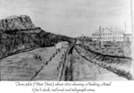
- Sketch of the town plot (West Fort) about 1875. Sketch shows Mt. McKay, Neebing Hotel, Government dock, railroad and telegraph wires.Sketch of the town plot (West Fort) about 1875. Sketch shows Mt. …
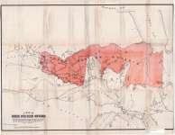
- Map housed at the Brodie Resource LibraryMap housed at the Brodie Resource Library
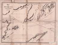
- Map housed at the Brodie Resource LibraryMap housed at the Brodie Resource Library
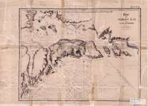
- Map housed at the Brodie Resource LibraryMap housed at the Brodie Resource Library
- Geological Survey of Canada, 1873 Full text available at Brodie Resource LibraryGeological Survey of Canada, 1873 Full text available at Brodie Resource Library
- Geological Survey of Canada, 1873 Full text available at Brodie Resource LibraryGeological Survey of Canada, 1873 Full text available at Brodie Resource Library
- Geological Survey of Canada, 1871 Full text available at Brodie Resource LibraryGeological Survey of Canada, 1871 Full text available at Brodie Resource Library


