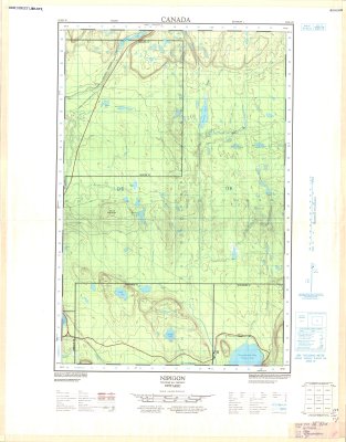
Nipigon : Thunder Bay District
Description
- Media Type
- Image
- Item Type
- Maps
- Description
- Thunder Bay District Maps ; Nipigon area ; Contour Maps
- Notes
- Map housed at the Brodie Resource Library
- Publisher
- Surveys and Mapping Branch, Department of Mines and Technical Surveys
- Place of Publication
- Ottawa
- Date of Publication
- 1966
- Map Scale
- 1:50,000
- Subject(s)
- Local identifier
- TM 52H/1E
- Collection
- Maps
- Language of Item
- English; French
- Geographic Coverage
-
-
Ontario, Canada
Latitude: 48.98341 Longitude: -88.35004 -
Ontario, Canada
Latitude: 48.888333 Longitude: -87.883333 -
Ontario, Canada
Latitude: 49.23341 Longitude: -88.18333
-
- Copyright Statement
- Copyright status unknown. Responsibility for determining the copyright status and any use rests exclusively with the user.
- Contact
- Thunder Bay Public LibraryEmail:research@tbpl.ca
Website:
Agency street/mail address:Brodie Resource Library
216 South Brodie Street
Thunder Bay, ON
P7E 1C2