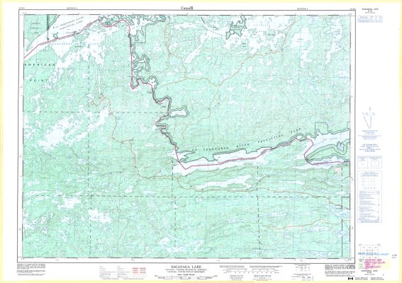
Saganaga Lake : Canada - United States of America
Description
- Media Type
- Image
- Item Type
- Maps
- Description
- Thunder Bay District Maps ; Sagana Lake Area ; La Verendrye River Provincial Park ; Canada - U.S. Border ; Contour Maps
- Notes
- Map housed at the Brodie Resource Library
- Publisher
- Canada Centre for Mapping, Department of Energy, Mines and Resources
- Place of Publication
- Ottawa
- Date of Publication
- 1995
- Map Scale
- 1:50,000
- Subject(s)
- Local identifier
- TM 52B/2
- Collection
- Maps
- Language of Item
- English; French
- Geographic Coverage
-
-
Ontario, Canada
Latitude: 48.09978 Longitude: -90.68351 -
Ontario, Canada
Latitude: 48.10397 Longitude: -90.36739 -
Ontario, Canada
Latitude: 48.26647 Longitude: -90.6502 -
Ontario, Canada
Latitude: 48.23308 Longitude: -90.86692
-
- Copyright Statement
- Protected by copyright: Uses other than research or private study require the permission of the rightsholder(s). Responsibility for obtaining permissions and for any use rests exclusively with the user.
- Copyright Date
- 1995
- Copyright Holder
- Her Majesty the Queen in Right of Canada. Department of Energy, Mines and Resources.
- Copyright Holder Contact Information
- Canada Map Office, Department of Energy, Mines and Resources, Ottawa
- Contact
- Thunder Bay Public LibraryEmail:research@tbpl.ca
Website:
Agency street/mail address:Brodie Resource Library
216 South Brodie Street
Thunder Bay, ON
P7E 1C2