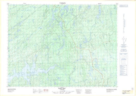
East Bay : Thunder Bay District
Description
- Media Type
- Image
- Item Type
- Maps
- Description
- Contour maps ; Thunder Bay District maps ; East Bay (Dog Lake)
- Notes
- Map housed at the Brodie Resource Library
- Publisher
- Surveys and Mapping Branch, Department of Energy, Mines and Resources
- Place of Publication
- Ottawa
- Date of Publication
- 1975
- Map Scale
- 1:50,000
- Subject(s)
- Local identifier
- TM 52 A/14
- Collection
- Maps
- Language of Item
- English; French
- Geographic Coverage
-
-
Ontario, Canada
Latitude: 48.76681 Longitude: -89.53343 -
Ontario, Canada
Latitude: 48.8334 Longitude: -89.0668 -
Ontario, Canada
Latitude: 48.95011 Longitude: -89.43341 -
Ontario, Canada
Latitude: 48.8168 Longitude: -89.0834 -
Ontario, Canada
Latitude: 48.9834 Longitude: -89.08339
-
- Copyright Statement
- Protected by copyright: Uses other than research or private study require the permission of the rightsholder(s). Responsibility for obtaining permissions and for any use rests exclusively with the user.
- Copyright Date
- 1975
- Copyright Holder
- Department of Energy, Mines and Resources
- Copyright Holder Contact Information
- Canada Map Office, Department of Energy, Mines and Resources, Ottawa
- Contact
- Thunder Bay Public LibraryEmail:research@tbpl.ca
Website:
Agency street/mail address:Brodie Resource Library
216 South Brodie Street
Thunder Bay, ON
P7E 1C2