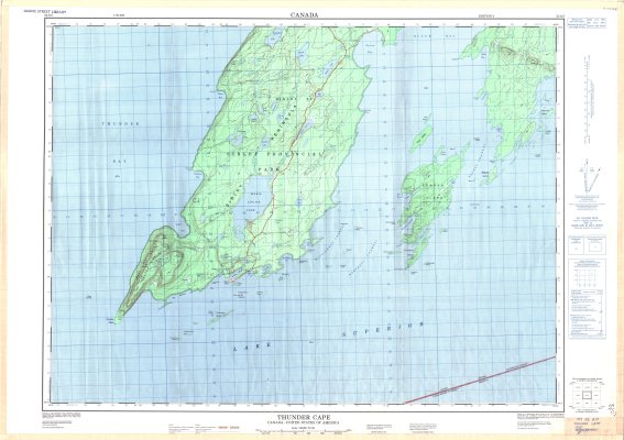
Thunder Cape : Canada - United States of America
Description
- Media Type
- Image
- Item Type
- Maps
- Description
- Thunder Bay area maps ; Contour maps ; Sibley Provincial Park ; Sibley Peninsula ; Black Bay
- Notes
- Map housed at the Brodie Resource Library
- Publisher
- Surveys and Mapping Branch, Department of Energy, Mines and Resources
- Place of Publication
- Ottawa
- Date of Publication
- 1975
- Map Scale
- 1:50,000
- Subject(s)
- Local identifier
- TM 52A/7
- Collection
- Maps
- Language of Item
- English; French
- Geographic Coverage
-
-
Ontario, Canada
Latitude: 48.3875 Longitude: -88.623888 -
Ontario, Canada
Latitude: 48.4168 Longitude: -88.75008 -
Ontario, Canada
Latitude: 48.30009 Longitude: -88.93339
-
- Copyright Statement
- Protected by copyright: Uses other than research or private study require the permission of the rightsholder(s). Responsibility for obtaining permissions and for any use rests exclusively with the user.
- Copyright Date
- 1975
- Copyright Holder
- Department of Energy, Mines and Resources
- Copyright Holder Contact Information
- Department of Energy, Mines and Resources, Ottawa
- Contact
- Thunder Bay Public LibraryEmail:research@tbpl.ca
Website:
Agency street/mail address:Brodie Resource Library
216 South Brodie Street
Thunder Bay, ON
P7E 1C2