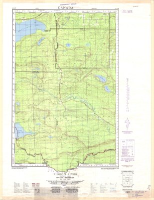
Pigeon River : Thunder Bay District
Description
- Media Type
- Image
- Item Type
- Maps
- Description
- Contour maps ; Thunder Bay District maps ; Pigeon River area
- Notes
- Map housed at the Brodie Resource Library
- Publisher
- Army Survey Establishment, R.C.E.
- Date of Publication
- 1956
- Map Scale
- 1:50,000
- Subject(s)
- Local identifier
- TM 52A/4 W
- Collection
- Maps
- Language of Item
- English; French
- Geographic Coverage
-
-
Ontario, Canada
Latitude: 48.1334 Longitude: -89.78346 -
Ontario, Canada
Latitude: 48.0115 Longitude: -89.70735 -
Ontario, Canada
Latitude: 48.05009 Longitude: -90.00017
-
- Copyright Statement
- Copyright status unknown. Responsibility for determining the copyright status and any use rests exclusively with the user.
- Contact
- Thunder Bay Public LibraryEmail:research@tbpl.ca
Website:
Agency street/mail address:Brodie Resource Library
216 South Brodie Street
Thunder Bay, ON
P7E 1C2