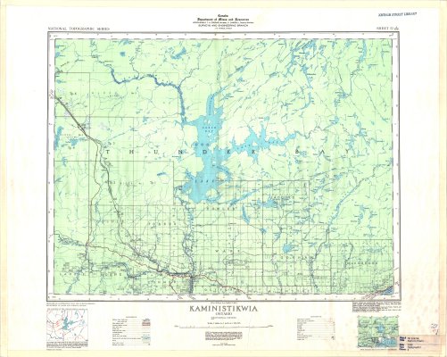
Kaministikwia
Description
- Media Type
- Image
- Item Type
- Maps
- Description
- Thunder Bay District Maps ; Kaministikwia area ; Kaministiquia ; Goldie ; Forbes ; Fowler ; Jacques ; Gorham ; Ware ; MacGregor ; Conmee ; Horne ; Dog Lake
- Notes
- Map housed at the Brodie Resource Library
- Publisher
- Canada Department of Mines and Resources
- Date of Publication
- 1939
- Map Scale
- 1:126,720
- Subject(s)
- Local identifier
- TM 52A/NW
- Collection
- Maps
- Language of Item
- English
- Geographic Coverage
-
-
Ontario, Canada
Latitude: 48.76681 Longitude: -89.53343 -
Ontario, Canada
Latitude: 48.5334 Longitude: -89.56684 -
Ontario, Canada
Latitude: 48.5834 Longitude: -89.0501 -
Ontario, Canada
Latitude: 48.83342 Longitude: -89.93344
-
- Copyright Statement
- Copyright status unknown. Responsibility for determining the copyright status and any use rests exclusively with the user.
- Contact
- Thunder Bay Public LibraryEmail:research@tbpl.ca
Website:
Agency street/mail address:Brodie Resource Library
216 South Brodie Street
Thunder Bay, ON
P7E 1C2