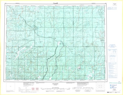
Foleyet
Description
- Media Type
- Image
- Item Type
- Maps
- Description
- Topographical Maps ; Contour Maps ; Northwestern Ontario Maps ; Chapleau Crown Game Preserve ; Foleyet Area ; Algoma District
- Notes
- Map housed at the Brodie Resource Library
- Publisher
- Canada Centre for Mapping, Natural Resources Canada
- Place of Publication
- Ottawa
- Date of Publication
- 1995
- Map Scale
- 1:250,000
- Subject(s)
- Corporate Name(s)
- Natural Resources Canada
- Local identifier
- TM 42B
- Collection
- Maps
- Language of Item
- English; French
- Geographic Coverage
-
-
Ontario, Canada
Latitude: 48.40009 Longitude: -83.71648 -
Ontario, Canada
Latitude: 48.96693 Longitude: -83.38314 -
Ontario, Canada
Latitude: 48.24194 Longitude: -82.44733 -
Ontario, Canada
Latitude: 48.9169 Longitude: -82.0665
-
- Copyright Statement
- Protected by copyright: Uses other than research or private study require the permission of the rightsholder(s). Responsibility for obtaining permissions and for any use rests exclusively with the user.
- Copyright Date
- 1995
- Copyright Holder
- Her Majesty the Queen in Right of Canada
- Copyright Holder Contact Information
- Canada Map Office, Ottawa
- Contact
- Thunder Bay Public LibraryEmail:research@tbpl.ca
Website:
Agency street/mail address:Brodie Resource Library
216 South Brodie Street
Thunder Bay, ON
P7E 1C2