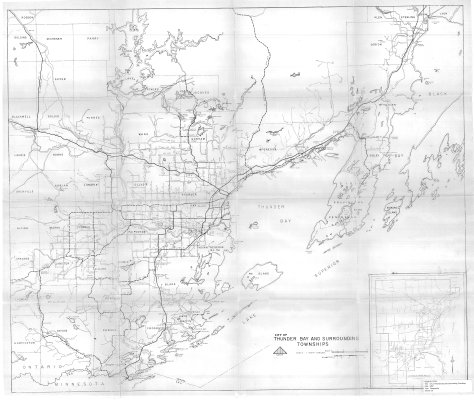
City of Thunder Bay and Surrounding Townships
Description
- Media Type
- Image
- Item Type
- Maps
- Description
- Thunder Bay District maps ; Thunder Bay area townships ; Dorion ; McGregor ; Gorham ; Ware ; Conmee ; Oliver ; Paipoonge ; Lybster ; Pardee
- Notes
- Map housed at the Brodie Resource Library
- Date of Publication
- 1982
- Subject(s)
- Local identifier
- TB - T2701
- Collection
- Maps
- Language of Item
- English
- Geographic Coverage
-
-
Ontario, Canada
Latitude: 48.2168 Longitude: -89.38343 -
Ontario, Canada
Latitude: 48.0834 Longitude: -89.81686 -
Ontario, Canada
Latitude: 48.7834 Longitude: -88.65007 -
Ontario, Canada
Latitude: 48.6168 Longitude: -89.65014 -
Ontario, Canada
Latitude: 48.3668 Longitude: -89.83347 -
Ontario, Canada
Latitude: 48.4168 Longitude: -88.75008 -
Ontario, Canada
Latitude: 48.4001 Longitude: -89.31683
-
- Copyright Statement
- Copyright status unknown. Responsibility for determining the copyright status and any use rests exclusively with the user.
- Contact
- Thunder Bay Public LibraryEmail:research@tbpl.ca
Website:
Agency street/mail address:Brodie Resource Library
216 South Brodie Street
Thunder Bay, ON
P7E 1C2