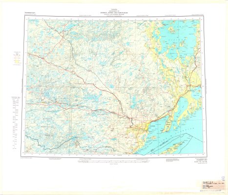
Thunder Bay : Elevations in Feet
Description
- Media Type
- Image
- Item Type
- Maps
- Description
- Thunder Bay District Maps ; Contour Maps ; Northwestern Ontario ; Land Elevations
- Notes
- Map housed at the Brodie Resource Library
- Date of Publication
- 1978
- Subject(s)
- Corporate Name(s)
- Canada Department of Energy, Mines and Resources
- Local identifier
- TB - TM52 SE
- Collection
- Maps
- Language of Item
- English
- Geographic Coverage
-
-
Ontario, Canada
Latitude: 48.75551 Longitude: -91.6216 -
Ontario, Canada
Latitude: 48.98341 Longitude: -88.35004 -
Ontario, Canada
Latitude: 48.401388 Longitude: -89.267777 -
Ontario, Canada
Latitude: 48.401388 Longitude: -89.267777 -
Ontario, Canada
Latitude: 49.86678 Longitude: -91.46693
-
- Copyright Statement
- Protected by copyright: Uses other than research or private study require the permission of the rightsholder(s). Responsibility for obtaining permissions and for any use rests exclusively with the user.
- Copyright Date
- 1978
- Copyright Holder
- Her Majesty the Queen in Right of Canada. Department of Energy, Mines and Resources
- Contact
- Thunder Bay Public LibraryEmail:research@tbpl.ca
Website:
Agency street/mail address:Brodie Resource Library
216 South Brodie Street
Thunder Bay, ON
P7E 1C2