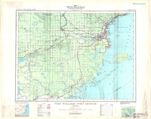
Fort William - Port Arthur
Description
- Media Type
- Image
- Item Type
- Maps
- Description
- Thunder Bay District Maps ; Fort William ; Port Arthur ; Thunder Bay District Townships ; Land Division
- Notes
- Map housed at the Brodie Resource Library
- Publisher
- Canada Department of Mines and Resources Surveys and Engineering Branch Hydrographic and Map Service
- Place of Publication
- Ottawa
- Date of Publication
- 1939
- Map Scale
- 1:126,720
- Subject(s)
- Corporate Name(s)
- Department of Lands and Forests, Ontario
- Local identifier
- TB - TM52A SW
- Collection
- Maps
- Language of Item
- English
- Geographic Coverage
-
-
Ontario, Canada
Latitude: 48.4668 Longitude: -89.66685 -
Ontario, Canada
Latitude: 48.0834 Longitude: -89.51684 -
Ontario, Canada
Latitude: 48.0834 Longitude: -89.81686 -
Ontario, Canada
Latitude: 48.2668 Longitude: -89.81687 -
Ontario, Canada
Latitude: 48.4501 Longitude: -89.35013 -
Ontario, Canada
Latitude: 48.401388 Longitude: -89.267777
-
- Copyright Statement
- Copyright status unknown. Responsibility for determining the copyright status and any use rests exclusively with the user.
- Contact
- Thunder Bay Public LibraryEmail:research@tbpl.ca
Website:
Agency street/mail address:Brodie Resource Library
216 South Brodie Street
Thunder Bay, ON
P7E 1C2