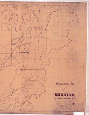
Municipality of Shuniah (McGregor & McTavish Twps.) - Right half of map
Description
- Creator
- Lakehead Planning Board
- Media Type
- Image
- Item Type
- Maps
- Description
- Thunder Bay District Maps ; Shuniah ; McGregor Township ; McTavish Township ; Sibley Township ; Land Division
- Notes
- See left half of map on separate record
Map housed at the Brodie Resource Library - Date of Publication
- 1971
- Subject(s)
- Corporate Name(s)
- Lakehead Planning Board
- Local identifier
- T 1900
- Collection
- Maps
- Language of Item
- English
- Geographic Coverage
-
-
Ontario, Canada
Latitude: 48.6668 Longitude: -88.68337 -
Ontario, Canada
Latitude: 48.5242 Longitude: -89.1147 -
Ontario, Canada
Latitude: 48.4168 Longitude: -88.75008 -
Ontario, Canada
Latitude: 48.4001 Longitude: -89.31683
-
- Copyright Statement
- Copyright status unknown. Responsibility for determining the copyright status and any use rests exclusively with the user.
- Contact
- Thunder Bay Public LibraryEmail:research@tbpl.ca
Website:
Agency street/mail address:Brodie Resource Library
216 South Brodie Street
Thunder Bay, ON
P7E 1C2