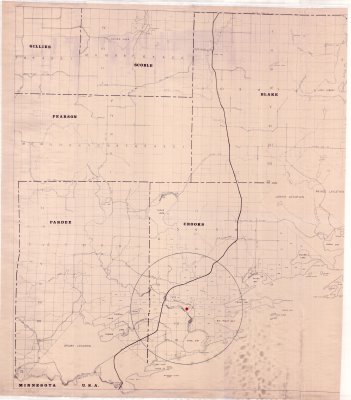
Municipality of Neebing : Blake, Crooks & Pardee Twps. (Left half of map)
Description
- Media Type
- Image
- Item Type
- Maps
- Description
- Thunder Bay District Maps ; Municipality of Neebing ; Blake Township ; Crooks Township ; Pardee Township ; Scoble ; Pearson ; Gillies ; Land Division
- Notes
- See right half of map on separate record
Map housed at the Brodie Resource Library - Date of Publication
- 1966
- Subject(s)
- Local identifier
- T 1834 B
- Collection
- Maps
- Language of Item
- English
- Geographic Coverage
-
-
Ontario, Canada
Latitude: 48.2168 Longitude: -89.38343 -
Ontario, Canada
Latitude: 48.0834 Longitude: -89.51684 -
Ontario, Canada
Latitude: 48.2668 Longitude: -89.70016 -
Ontario, Canada
Latitude: 48.1334 Longitude: -89.58344 -
Ontario, Canada
Latitude: 48.2834 Longitude: -89.56684
-
- Copyright Statement
- Copyright status unknown. Responsibility for determining the copyright status and any use rests exclusively with the user.
- Contact
- Thunder Bay Public LibraryEmail:research@tbpl.ca
Website:
Agency street/mail address:Brodie Resource Library
216 South Brodie Street
Thunder Bay, ON
P7E 1C2