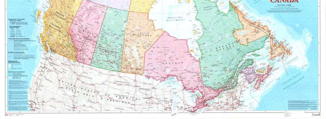
Canada (lower half)
Description
- Creator
- Earth Observation and GeoSolutions (Natural Resources Canada), Producer
- Media Type
- Image
- Item Type
- Maps
- Description
- Canada ; Canada -- Geography ; Canada -- Maps ; Transportation Routes
- Notes
- See upper half of map on separate record.
The Atlas of Canada Reference Map Series
Map housed at the Brodie Resource Library - Publisher
- Natural Resources Canada
- Place of Publication
- Ottawa
- Date of Publication
- 2009
- Map Scale
- 1:4,000,000
- Subject(s)
- Corporate Name(s)
- Natural Resources Canada
- Local identifier
- C 1519
- Collection
- Maps
- Language of Item
- English
- Copyright Statement
- Protected by copyright: Uses other than research or private study require the permission of the rightsholder(s). Responsibility for obtaining permissions and for any use rests exclusively with the user.
- Copyright Date
- 2009
- Copyright Holder
- Her Majesty the Queen in Right of Canada, Natural Resources Canada
- Copyright Holder Contact Information
- 1-800-465-6277 or
http://maps.nrcan.gc.ca/distrib_centres_e.php
Quote MCR 105 - Contact
- Thunder Bay Public LibraryEmail:research@tbpl.ca
Website:
Agency street/mail address:Brodie Resource Library
216 South Brodie Street
Thunder Bay, ON
P7E 1C2