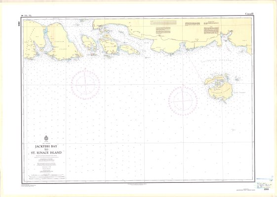
Jackfish Bay to St. Ignace Island : Lake Superior
Description
- Media Type
- Image
- Item Type
- Maps
- Description
- Lake Superior Maps ; Jackfish Bay ; St. Ignace Island ; Nautical Maps ; Sailing Maps ; Depth Charts ; Nautical Bearings ; Boating Routes ; Lake Navigation
- Notes
- Map housed at the Brodie Resource Library
- Publisher
- Canadian Hydrographic Service
- Date of Publication
- 1990
- Map Scale
- 1:72,968
- Subject(s)
- Local identifier
- NC 2203
- Collection
- Maps
- Language of Item
- English
- Geographic Coverage
-
-
Ontario, Canada
Latitude: 48.796944 Longitude: -86.986944 -
Ontario, Canada
Latitude: 48.6501 Longitude: -86.99996 -
Ontario, Canada
Latitude: 48.792777 Longitude: -87.928888
-
- Copyright Statement
- Protected by copyright: Uses other than research or private study require the permission of the rightsholder(s). Responsibility for obtaining permissions and for any use rests exclusively with the user.
- Copyright Date
- 1990
- Copyright Holder
- Minister of Fisheries and Oceans Canada
- Contact
- Thunder Bay Public LibraryEmail:research@tbpl.ca
Website:
Agency street/mail address:Brodie Resource Library
216 South Brodie Street
Thunder Bay, ON
P7E 1C2