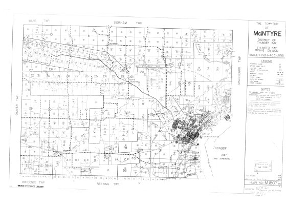
The Township of McIntyre : District of Thunder Bay
Description
- Media Type
- Image
- Item Type
- Maps
- Description
- Mining Maps ; McIntyre Township ; Thunder Bay District ; Thunder Bay Mining Division ; Land Division
- Notes
- Map housed at the Brodie Resource Library
- Publisher
- Ontario Ministry of Natural Resources : Surveys and Mapping Branch
- Date of Publication
- 1977
- Subject(s)
- Corporate Name(s)
- Ontario Ministry of Natural Resources
- Local identifier
- M 1807
- Collection
- Maps
- Language of Item
- English
- Geographic Coverage
-
-
Ontario, Canada
Latitude: 48.4168 Longitude: -89.41684 -
Ontario, Canada
Latitude: 48.4501 Longitude: -89.35013 -
Ontario, Canada
Latitude: 48.401388 Longitude: -89.267777
-
- Copyright Statement
- Copyright status unknown. Responsibility for determining the copyright status and any use rests exclusively with the user.
- Contact
- Thunder Bay Public LibraryEmail:research@tbpl.ca
Website:
Agency street/mail address:Brodie Resource Library
216 South Brodie Street
Thunder Bay, ON
P7E 1C2