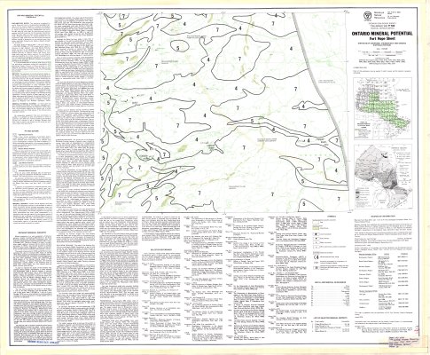
Ontario Mineral Potential : Fort Hope Sheet
Description
- Media Type
- Image
- Item Type
- Maps
- Description
- Geological Maps ; Fort Hope Area ; Cochrane District ; Thunder Bay District ; Kenora District (Patricia Portion) ; Mineral Potential
- Notes
- Map housed at the Brodie Resource Library
- Publisher
- Ontario Ministry of Natural Resources
- Date of Publication
- 1978
- Map Scale
- 1:250,000
- Subject(s)
- Corporate Name(s)
- Ontario Ministry of Natural Resources
- Local identifier
- MD 1540
- Collection
- Maps
- Language of Item
- English
- Geographic Coverage
-
-
Ontario, Canada
Latitude: 51.55573 Longitude: -87.95998 -
Ontario, Canada
Latitude: 51.56681 Longitude: -86.36651 -
Ontario, Canada
Latitude: 51.63341 Longitude: -85.94978
-
- Copyright Statement
- Protected by copyright: Uses other than research or private study require the permission of the rightsholder(s). Responsibility for obtaining permissions and for any use rests exclusively with the user.
- Copyright Date
- 1978
- Copyright Holder
- OMNR-OGS Ontario Ministry of Natural Resources : Ontario Geological Survey
- Contact
- Thunder Bay Public LibraryEmail:research@tbpl.ca
Website:
Agency street/mail address:Brodie Resource Library
216 South Brodie Street
Thunder Bay, ON
P7E 1C2