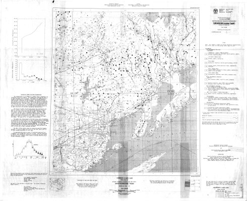
Uranium in water (ppb) : Fort William sheet and part of Nipigon sheet
Description
- Media Type
- Image
- Item Type
- Maps
- Description
- Geological Maps ; Geological Surveys ; Uranium ; Uranium Deposits ; Geochemicals ; Geophysics ; Fort William ; Nipigon ; Thunder Bay Area Maps
- Notes
- Map housed at the Brodie Resource Library
- Publisher
- Ontario Ministry of Natural Resources Surveys and Mapping Branch
- Place of Publication
- Ottawa
- Date of Publication
- 1978
- Map Scale
- 1:250,000
- Subject(s)
- Corporate Name(s)
- Ontario Ministry of Natural Resources
- Local identifier
- P1821
- Collection
- Maps
- Language of Item
- English
- Geographic Coverage
-
-
Ontario, Canada
Latitude: 48.76681 Longitude: -89.53343 -
Ontario, Canada
Latitude: 48.98341 Longitude: -88.35004 -
Ontario, Canada
Latitude: 48.4168 Longitude: -88.75008 -
Ontario, Canada
Latitude: 48.3668 Longitude: -89.30012
-
- Copyright Statement
- Protected by copyright: Uses other than research or private study require the permission of the rightsholder(s). Responsibility for obtaining permissions and for any use rests exclusively with the user.
- Copyright Date
- 1978
- Copyright Holder
- OMNR-OGS-GSC
- Contact
- Thunder Bay Public LibraryEmail:research@tbpl.ca
Website:
Agency street/mail address:Brodie Resource Library
216 South Brodie Street
Thunder Bay, ON
P7E 1C2