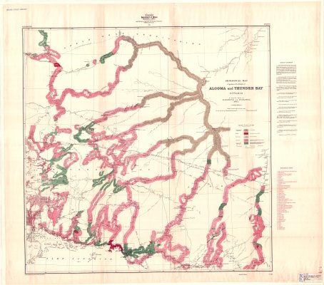
Geological map of portions of the Districts of Algoma and Thunder Bay
Description
- Creators
- Wilson, W.J., Compiler
- Collins, W.H., Compiler
- Media Type
- Image
- Item Type
- Maps
- Description
- Geological Maps ; Geological Surveys ; Thunder Bay District Maps ; Algoma District Maps
- Notes
- Map housed at the Brodie Resource Library
- Publisher
- Canada Department of Mines
- Date of Publication
- 1911
- Map Scale
- 1:506,880
- Subject(s)
- Corporate Name(s)
- Canada Department of Mines
- Local identifier
- TB-G964
- Collection
- Maps
- Language of Item
- English
- Geographic Coverage
-
-
Ontario, Canada
Latitude: 51.53342 Longitude: -87.76665 -
Ontario, Canada
Latitude: 49.76692 Longitude: -83.44982 -
Ontario, Canada
Latitude: 51.10012 Longitude: -84.46646 -
Ontario, Canada
Latitude: 48.888333 Longitude: -87.883333
-
- Copyright Statement
- Copyright status unknown. Responsibility for determining the copyright status and any use rests exclusively with the user.
- Contact
- Thunder Bay Public LibraryEmail:research@tbpl.ca
Website:
Agency street/mail address:Brodie Resource Library
216 South Brodie Street
Thunder Bay, ON
P7E 1C2