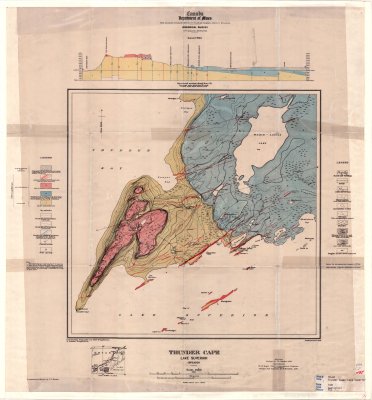
Thunder Cape : Lake Superior
Description
- Creators
- Boyd, W.H.
- Bartlett, R.
- Media Type
- Image
- Item Type
- Maps
- Description
- Geological Maps ; Geological Surveys ; Geological Boundaries ; Contour Maps ; Sibley Peninsula ; Thunder Cape
- Notes
- Map housed at the Brodie Resource Library
- Inscriptions
- To accompany Memoir by T.L. Tanton
- Publisher
- Canada Department of Mines
- Date of Publication
- 1924
- Map Scale
- 1:36,000
- Subject(s)
- Corporate Name(s)
- Canada Department of Mines
- Local identifier
- TB-G2
- Collection
- Maps
- Language of Item
- English
- Geographic Coverage
-
-
Ontario, Canada
Latitude: 48.30009 Longitude: -88.93339
-
- Copyright Statement
- Copyright status unknown. Responsibility for determining the copyright status and any use rests exclusively with the user.
- Contact
- Thunder Bay Public LibraryEmail:research@tbpl.ca
Website:
Agency street/mail address:Brodie Resource Library
216 South Brodie Street
Thunder Bay, ON
P7E 1C2