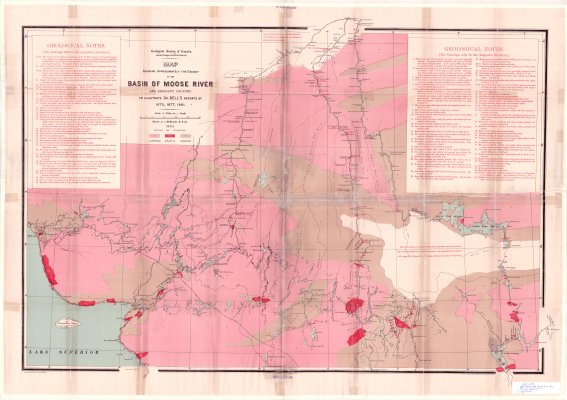
Map showing the geology of the Basin of Moose River and adjacent country : to illustrate Dr. Bell's reports of 1875, 1877, 1881
Description
- Creator
- Richard, L.N., Cartographer
- Media Type
- Image
- Item Type
- Maps
- Description
- Geological Maps ; Geological Deposits ; Moose River Area ; Laurentian Rock ; Granite ; Huronian Rock
- Notes
- Map housed at the Brodie Resource Library
- Date of Publication
- 1883
- Subject(s)
- Corporate Name(s)
- Geological Survey of Canada
- Local identifier
- GSC 2088
- Collection
- Maps
- Language of Item
- English
- Geographic Coverage
-
-
Ontario, Canada
Latitude: 48.70018 Longitude: -79.74968 -
Ontario, Canada
Latitude: 47.93339 Longitude: -84.83316 -
Ontario, Canada
Latitude: 47.750555 Longitude: -85.764166 -
Ontario, Canada
Latitude: 50.80019 Longitude: -81.2829
-
- Copyright Statement
- Copyright status unknown. Responsibility for determining the copyright status and any use rests exclusively with the user.
- Contact
- Thunder Bay Public LibraryEmail:research@tbpl.ca
Website:
Agency street/mail address:Brodie Resource Library
216 South Brodie Street
Thunder Bay, ON
P7E 1C2


