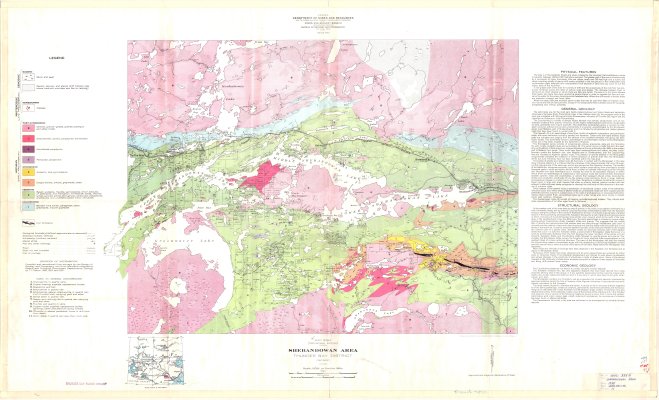
Shebandowan Area : Thunder Bay District
Description
- Creator
- Tanton, T.L.
- Media Type
- Image
- Item Type
- Maps
- Description
- Geological Maps ; Geological Surveys ; Thunder Bay District Maps ; Shebandowan ; Mineral Occurences
- Notes
- Map housed at the Brodie Resource Library
- Publisher
- Hydrographic and Map Service, Surveys and Engineering Branch
- Place of Publication
- Ottawa
- Date of Publication
- 1938
- Map Scale
- 1:63,360
- Subject(s)
- Corporate Name(s)
- Canada Department of Mines and Resources
- Local identifier
- GSC 338A
- Collection
- Maps
- Language of Item
- English
- Geographic Coverage
-
-
Ontario, Canada
Latitude: 48.60011 Longitude: -90.16687 -
Ontario, Canada
Latitude: 48.63341 Longitude: -90.25017 -
Ontario, Canada
Latitude: 48.61678 Longitude: -90.46688
-
- Copyright Statement
- Copyright status unknown. Responsibility for determining the copyright status and any use rests exclusively with the user.
- Contact
- Thunder Bay Public LibraryEmail:research@tbpl.ca
Website:
Agency street/mail address:Brodie Resource Library
216 South Brodie Street
Thunder Bay, ON
P7E 1C2