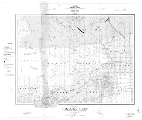
Kakabeka Sheet : Thunder Bay District
Description
- Media Type
- Image
- Item Type
- Maps
- Description
- Geological Maps ; Geological Surveys ; Thunder Bay District Maps ; Kakabeka ; Strange ; Lybster ; Gillies ; Scoble ; Paipooonge ; O'Connor ; Marks ; Aldina ; Oliver ; Conmee ; Adrain ; Sackville
- Notes
- Map housed at the Brodie Resource Library
- Inscriptions
- To accompany memoir by T.L. Tanton
- Publisher
- Canada Department of Mines
- Date of Publication
- 1928
- Map Scale
- 1:63,360
- Subject(s)
- Corporate Name(s)
- Canada Department of Mines
- Local identifier
- GSC 213A
- Collection
- Maps
- Language of Item
- English
- Geographic Coverage
-
-
Ontario, Canada
Latitude: 48.5334 Longitude: -89.63344 -
Ontario, Canada
Latitude: 48.4001 Longitude: -89.61685 -
Ontario, Canada
Latitude: 48.2668 Longitude: -89.81687 -
Ontario, Canada
Latitude: 48.45011 Longitude: -89.95016 -
Ontario, Canada
Latitude: 48.2834 Longitude: -89.56684
-
- Copyright Statement
- Copyright status unknown. Responsibility for determining the copyright status and any use rests exclusively with the user.
- Contact
- Thunder Bay Public LibraryEmail:research@tbpl.ca
Website:
Agency street/mail address:Brodie Resource Library
216 South Brodie Street
Thunder Bay, ON
P7E 1C2