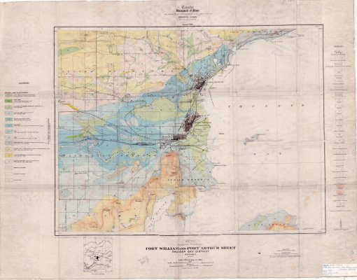
Fort William and Port Arthur Sheet : Thunder Bay District (Surface Deposits)
Description
- Creators
- Tanton, T.L.
- Boyd, W.H.
- Media Type
- Image
- Item Type
- Maps
- Description
- Geological Surveys ; Geological Maps ; Surface Deposits ; Gravel ; Glacial Outwash ; Fort William Maps ; Port Arthur Maps
- Notes
- Map housed at the Brodie Resource Library
- Publisher
- Canada Department of Mines
- Date of Publication
- 1929
- Map Scale
- 1:63,360
- Subject(s)
- Corporate Name(s)
- Canada Department of Mines
- Local identifier
- GSC 197A
- Collection
- Maps
- Language of Item
- English
- Geographic Coverage
-
-
Ontario, Canada
Latitude: 48.401388 Longitude: -89.267777 -
Ontario, Canada
Latitude: 48.3668 Longitude: -89.30012
-
- Copyright Statement
- Copyright status unknown. Responsibility for determining the copyright status and any use rests exclusively with the user.
- Contact
- Thunder Bay Public LibraryEmail:research@tbpl.ca
Website:
Agency street/mail address:Brodie Resource Library
216 South Brodie Street
Thunder Bay, ON
P7E 1C2