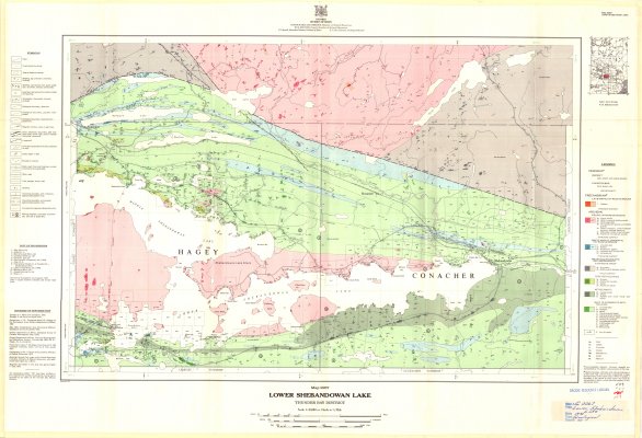
Lower Shebandowan Lake : Thunder Bay District
Description
- Creator
- Colman, M.J., Cartographer
- Media Type
- Image
- Item Type
- Maps
- Description
- Geological Maps ; Lower Shebandowan Lake ; Hagey ; Conacher ; Thunder Bay District Maps ; Land Formations ; Mining Properties
- Notes
- Map housed at the Brodie Resource Library
- Publisher
- Ontario Division of Mines
- Date of Publication
- 1973
- Map Scale
- 1:31,680
- Subject(s)
- Corporate Name(s)
- Ontario Division of Mines
- Local identifier
- G 2267
- Collection
- Maps
- Language of Item
- English
- Geographic Coverage
-
-
Ontario, Canada
Latitude: 48.68341 Longitude: -90.08346 -
Ontario, Canada
Latitude: 48.66681 Longitude: -90.25017 -
Ontario, Canada
Latitude: 48.60011 Longitude: -90.16687 -
Ontario, Canada
Latitude: 48.63341 Longitude: -90.25017
-
- Copyright Statement
- Copyright status unknown. Responsibility for determining the copyright status and any use rests exclusively with the user.
- Contact
- Thunder Bay Public LibraryEmail:research@tbpl.ca
Website:
Agency street/mail address:Brodie Resource Library
216 South Brodie Street
Thunder Bay, ON
P7E 1C2