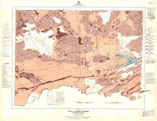
Devon and Pardee Townships : and Stuart Location
Description
- Creator
- Wisbey, P.A., Cartographer
- Media Type
- Image
- Item Type
- Maps
- Description
- Geological Maps ; Thunder Bay District Maps ; Pardee Township ; Devon Township ; Stuart Location ; Land Formations
- Notes
- Map housed at the Brodie Resource Library
- Publisher
- Ontario Department of Mines and Northern Affairs
- Date of Publication
- 1970
- Map Scale
- 1:31,680
- Subject(s)
- Corporate Name(s)
- Ontario Department of Mines and Northern Affairs
- Local identifier
- G 2207
- Collection
- Maps
- Language of Item
- English
- Geographic Coverage
-
-
Ontario, Canada
Latitude: 48.0834 Longitude: -89.81686 -
Ontario, Canada
Latitude: 48.0834 Longitude: -89.63345 -
Ontario, Canada
Latitude: 48.0001 Longitude: -89.56684
-
- Copyright Statement
- Copyright status unknown. Responsibility for determining the copyright status and any use rests exclusively with the user.
- Contact
- Thunder Bay Public LibraryEmail:research@tbpl.ca
Website:
Agency street/mail address:Brodie Resource Library
216 South Brodie Street
Thunder Bay, ON
P7E 1C2