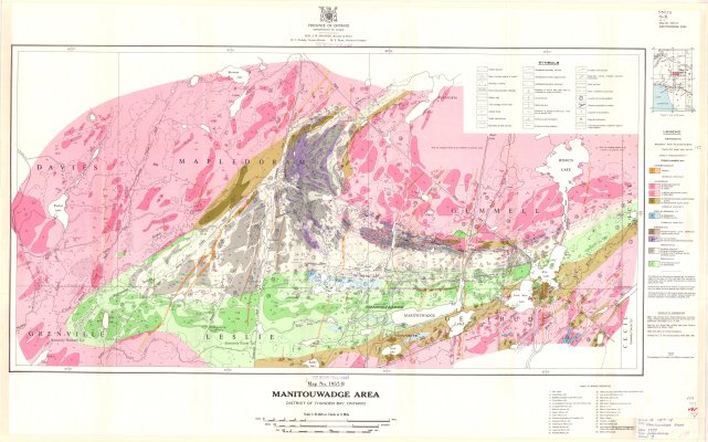
Manitouwadge Area : District of Thunder Bay, Ontario
Description
- Media Type
- Image
- Item Type
- Maps
- Description
- Geological Maps ; Manitouwadge ; Thunder Bay District Maps ; Land Formations
- Notes
- Map housed at the Brodie Resource Library
- Publisher
- Province of Ontario Department of Mines
- Date of Publication
- 1957
- Map Scale
- 1:31,680
- Subject(s)
- Corporate Name(s)
- Province of Ontario Department of Mines
- Local identifier
- G 1957-8
- Collection
- Maps
- Language of Item
- English
- Geographic Coverage
-
-
Ontario, Canada
Latitude: 49.12152 Longitude: -85.8403
-
- Copyright Statement
- Copyright status unknown. Responsibility for determining the copyright status and any use rests exclusively with the user.
- Contact
- Thunder Bay Public LibraryEmail:research@tbpl.ca
Website:
Agency street/mail address:Brodie Resource Library
216 South Brodie Street
Thunder Bay, ON
P7E 1C2