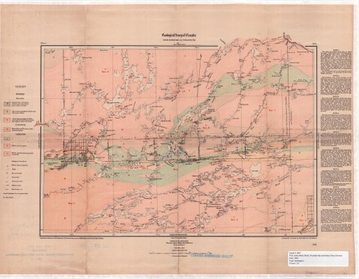
Seine River Sheet : Thunder Bay and Rainy River Districts
Description
- Creators
- Smith, W.H., Cartographer
- Senecal, C.O., Cartographer
- Media Type
- Image
- Item Type
- Maps
- Description
- Geological Maps ; Seine River Area ; Thunder Bay District Maps ; Rainy River District Maps ; Land Formations
- Notes
- Map housed at the Brodie Resource Library
- Publisher
- Geological Survey of Canada
- Date of Publication
- 1897
- Map Scale
- 1:253,400
- Subject(s)
- Corporate Name(s)
- Geological Survey of Canada
- Local identifier
- G 18197
- Collection
- maps
- Language of Item
- English
- Geographic Coverage
-
-
Ontario, Canada
Latitude: 48.71652 Longitude: -92.45029
-
- Copyright Statement
- Copyright status unknown. Responsibility for determining the copyright status and any use rests exclusively with the user.
- Contact
- Thunder Bay Public LibraryEmail:research@tbpl.ca
Website:
Agency street/mail address:Brodie Resource Library
216 South Brodie Street
Thunder Bay, ON
P7E 1C2