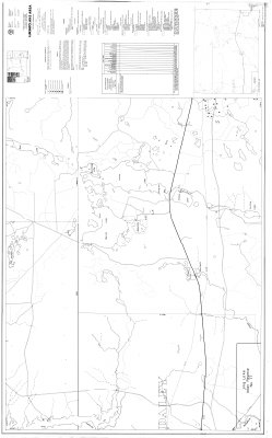
Lukinto Lake Area : District of Thunder Bay Ontario Geological Survey Preliminary Map
Description
- Creators
- Mason, J.K., Compiler
- Matthews, Mary, Compiler
- Media Type
- Image
- Item Type
- Maps
- Description
- Geological Maps ; Geological Surveys ; Geological Data ; Thunder Bay District ; Lukinto Lake
- Notes
- Map housed at the Brodie Resource Library
- Inscriptions
- Numerous inscriptions, see map for details
- Publisher
- OMNR-OGS
- Date of Publication
- 1980
- Map Scale
- 1:15,840
- Subject(s)
- Corporate Name(s)
- Ontario Ministry of Natural Resources and Ontario Ministry of Northern Affairs
- Local identifier
- P 2083
- Collection
- Maps
- Language of Item
- English
- Geographic Coverage
-
-
Ontario, Canada
Latitude: 49.81684 Longitude: -86.29994
-
- Copyright Statement
- Protected by copyright: Uses other than research or private study require the permission of the rightsholder(s). Responsibility for obtaining permissions and for any use rests exclusively with the user.
- Copyright Date
- 1980
- Copyright Holder
- OMNR-OGS
- Contact
- Thunder Bay Public LibraryEmail:research@tbpl.ca
Website:
Agency street/mail address:Brodie Resource Library
216 South Brodie Street
Thunder Bay, ON
P7E 1C2