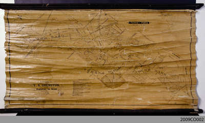
1876 Plan of the Town of Paris
Description
- Creator
- Shenston, T.S., Cartographer
- Media Type
- Image
- Text
- Item Type
- Maps
- Description
- This 1876 town map shows Paris as it was at the time. The lots are numbered individually. A number of notable town landmarks are indicated, with the key in the lower centre of the map.
- Date of Original
- 1876
- Subject(s)
- Local identifier
- 2009CO002
- Language of Item
- English
- Geographic Coverage
-
-
Ontario, Canada
Latitude: 43.2 Longitude: -80.38333
-
- Donor
- Original held by the County of Brant Records Management Division.
- Copyright Statement
- Public domain: Copyright has expired according to Canadian law. No restrictions on use.
- Contact
- County of Brant Public LibraryEmail:digitalhistory@brant.ca
Website:
Agency street/mail address:County of Brant Public Library (Paris Branch)
12 William Street
Paris, ON
N3L 1K7 | @brantlibrary


