Map of the Town of Paris, 1932
Description
- Media Type
- Image
- Text
- Item Type
- Maps
- Description
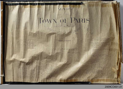
- This 1932 map shows the layout of Paris as it existed at that time. The first page includes a list of landowners of recently subdivided lots, as well as an inset showing the block of land belonging to Charles Whitlaw at the corner of Broadway and Mechanic Streets.
- Notes
- Pages 2 through 4 of this map appear to have been cropped from an originally larger map, and cut off abruptly at the edges.
- Pagination
- pp. 1-4
- Date of Original
- Jan. 1932
- Map Scale
- 200 feet:1 inch
- Subject(s)
- Local identifier
- 2009CO001
- Geographic Coverage
-
-
Ontario, Canada
Latitude: 43.2 Longitude: -80.38333
-
- Donor
- Original held by the County of Brant Records Management Division.
- Copyright Statement
- Copyright status unknown. Responsibility for determining the copyright status and any use rests exclusively with the user.
- Copyright Date
- 1932
- Contact
- County of Brant Public LibraryEmail:digitalhistory@brant.ca
Website:
Agency street/mail address:County of Brant Public Library (Paris Branch)
12 William Street
Paris, ON
N3L 1K7 | @brantlibrary