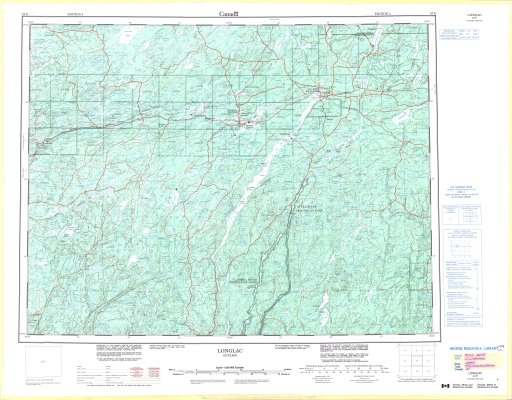
Longlac
Description
- Media Type
- Image
- Item Type
- Maps
- Description
- Topographical maps ; Contour maps ; Longlac area ; Steel River Provincial Park
- Notes
- Map housed at the Brodie Resource Library
- Publisher
- Canada Centre for Mapping, Department of Energy, Mines and Resources
- Place of Publication
- Ottawa
- Date of Publication
- 1995
- Map Scale
- 1:250,000
- Subject(s)
- Local identifier
- TM 42E
- Collection
- Maps
- Language of Item
- English; French
- Geographic Coverage
-
-
Ontario, Canada
Latitude: 49.60926 Longitude: -87.95603 -
Ontario, Canada
Latitude: 49.72667 Longitude: -86.94842 -
Ontario, Canada
Latitude: 49.80014 Longitude: -86.51666 -
Ontario, Canada
Latitude: 49.23341 Longitude: -86.83324
-
- Copyright Statement
- Protected by copyright: Uses other than research or private study require the permission of the rightsholder(s). Responsibility for obtaining permissions and for any use rests exclusively with the user.
- Copyright Date
- 1995
- Copyright Holder
- Her Majesty the Queen in Right of Canada. Department of Energy, Mines and Resources
- Copyright Holder Contact Information
- Canada Map Office, Department of Energy, Mines and Resources, Ottawa
- Contact
- Thunder Bay Public LibraryEmail:research@tbpl.ca
Website:
Agency street/mail address:Brodie Resource Library
216 South Brodie Street
Thunder Bay, ON
P7E 1C2